
Location-based solutions for local governments
We're liberating location-based data, empowering local governments to efficiently improve citizen experiences.
Request a Demo


-
Access up-to-date information anytime, anywhere
-
Gain insights quickly
-
Improve responsiveness
Who We Serve
Trusted by 1,000+
local governments
Our Solutions
A growing platform of
GIS-integrated solutions
Have a question?
Contact our Sales Team
Parcel Management
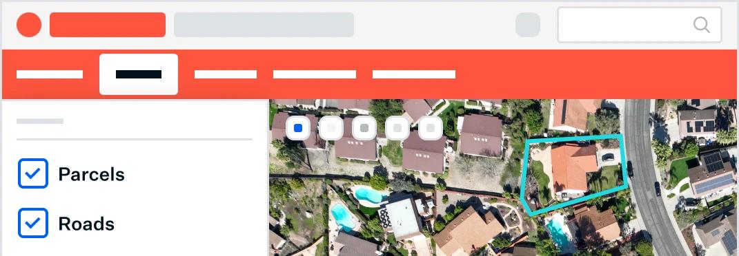
Integrated information for better decision making and citizen engagement. Our platform integrates with CAMA, Tax Administration, and other systems, giving you unified tools for appraisals, appeals, sales searches, forms, and more.

Permitting & Licensing
Make permits, licenses and applications easily accessible online. Discover affordable solutions for buildings, marriage, construction, electrical, alcohol, and more.


Asset Management
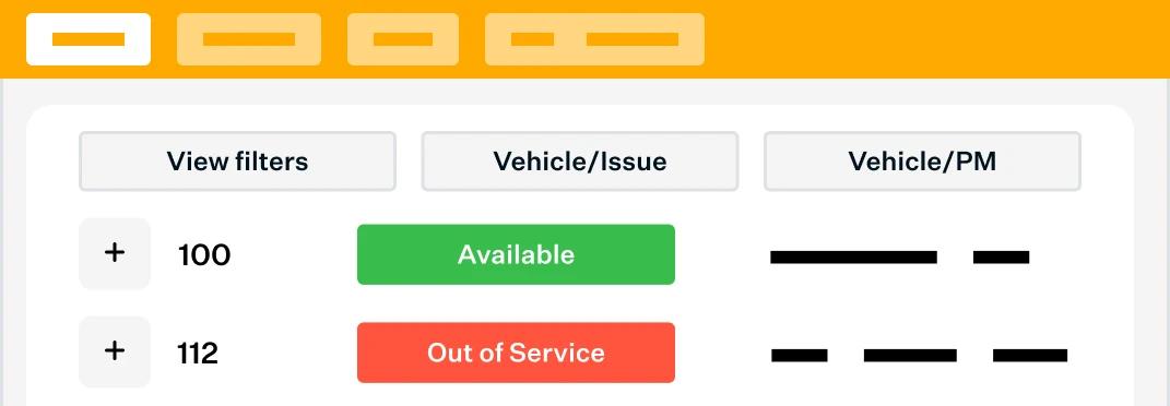
Discover powerful digital tools that make work more accurate and efficient. Find solutions for monitoring and managing fleet, work orders, permits, infrastructure, water systems, and more.
Expert Services
End the endless paper trails with centralized data.
Instead of spending hours hunting for information and feeling frustrated, city and county staff can get all the data they need in one place. Each of Schneider Geospatial's solutions centralize data from various systems and departments into one user-friendly view, and integrates with GIS, to deliver accurate information, 24/7.
-
Centralize data and free up valuable staff time
-
Streamline workflows for better responsiveness
-
Keep operations current with our professional support and ongoing tech upgrades
-
Designed and built for intuitive accessibility
-
GIS-enriched data creates efficiencies, and positions your local government for the future
-
Improve decision making with near real-time information

Schneider Geospatial is one of the nation's largest GovTech companies.
1,000+
customers nationwide
64
years in business
34
states served
585+ million
page views
38+ million
unique users annually
Resources
blog
Asset
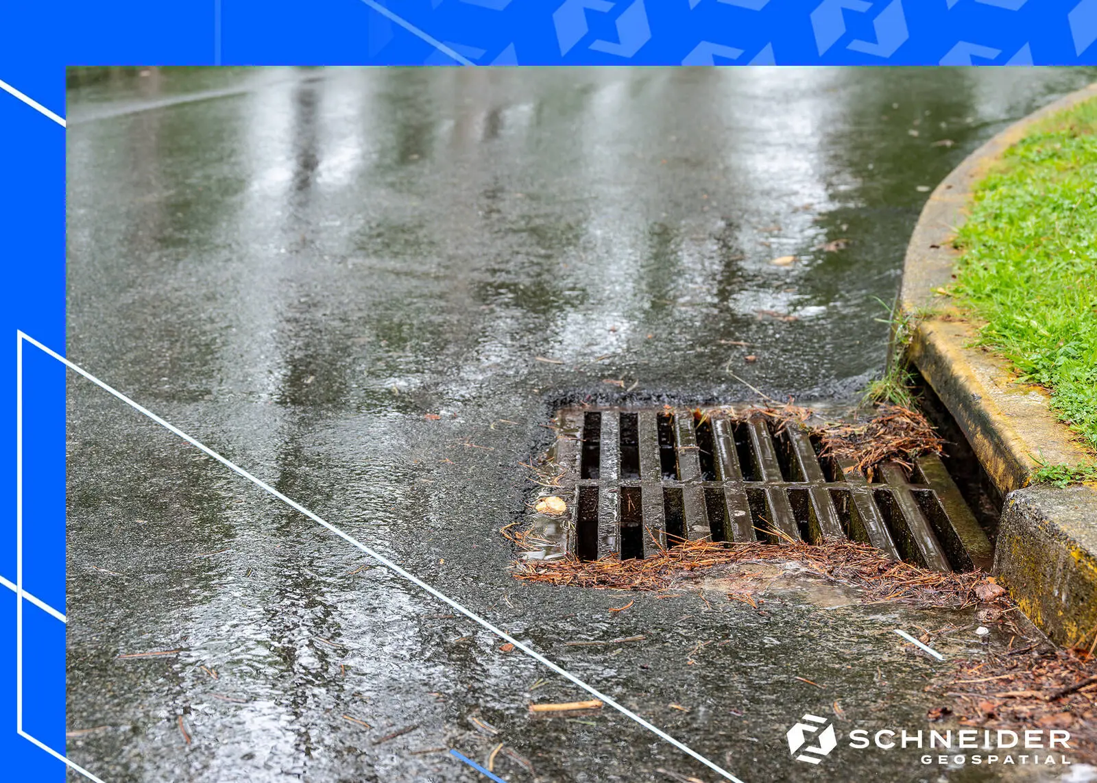
Streamlining Stormwater Management with Schneider Geospatial’s Asset Management Solution
Regulatory demands on municipalities to manage and operate stormwater systems have increased significantly in recent years. Meeting these stringent requirements, particularly for MS4 (Municipal Separate Storm Sewer System) communities, can be challenging
Read More

blog
Asset
Permitting & Licensing
Parcel
The Rise of Geospatial Software: Trends and Insights with Schneider Geospatial
Read More
Here's how it works.
We like to make using and implementing a new system as seamless as possible for our customers.
1
Discuss
We'll talk with you about best practices for managing parcels, permits, licenses, assets, and the solutions other local governments are using, so you're fully informed.
2
Demo
We'll show you a demo of the tools that can best address your needs.
3
Deliver
We'll integrate your systems and train your staff to maximize their efficiency and productivity.